After Palatka the St. Johns River changes its character. Where downstream (north) of Palatka is is broad and lake-like, upstream (south) of Palatka is is a meandering stream connecting a series of lakes.
We departed Palatka and the crab festival on Sunday, May 30, and immediately experienced a different river than we had been seeing before. We cruised a few miles upstream to Murphy Creek (forms Murphy Island with the St. Johns River) and entered the creek looking for an anchorage for a few days. Murphy Creek winds around in a narrow necklace on the south side of Murphy Island with deep water and cypress swamps on either side. Since it was a holiday weekend there were a number of small boats speeding through the creek, and a few pulled up near the shore in clumps of water hyacinths fishing. We couldn't find any spot we felt was suitable for an anchorage for several days, particularly with the small boats zipping around in the relatively narrow ribbon of deep water.
We completed the circuit on Murphy Creek, exiting back into the St. Johns River near Rat Island, and proceeded into an anchorage on the right bank ascending at the Palatka Yacht Club houseboat. We had difficulty getting the anchor to hold when we backed down, and decided to haul in the anchor and try another location. As we raised the anchor, we discovered that we had hooked a cinder block and small line (probably part of an old crab trap). Judy was able to raise the anchor to the bow pulpit and dislodge the cinder block with a boat hook. We then moved a bit further upstream and anchored in a large cove on the north side of Murphy Island about 300 yards downstream from a submerged sand bar that was being used the the small boat crowd for a holiday party - having a great time with kids and adults in the water throwing footballs, swimming, jumping off of boats, and talking.
The next day, Monday - Memorial Day - the small boats were showing up at the sand bar by the time we were up and about at 0800! More boats kept arriving throughout the morning, and by noon the submerged beach was crowded. The boats ran the gamut from PWCs, 14 foot uncovered pontoon boats, and ski boats, to larger covered pontoon boats and 26-28 foot SeaRay type boats, even a large house boat. A few hours later the clouds started getting darker and darker. Some of the small boats started leaving - others stayed. By the time the rain and wind picked up, most of the boats had departed, but a few remained. Those that left early might have gotten "home" before the bad wind and rain; those that remained got soaked and blown around. We could see a few people on some of the smaller boats huddling under blue tarps! At least the rain was warm. One of the boats, in the middle of the storms, left the sandbar and went behind one of the small islands for some protection from the wind. Later, after the storms had passed, the remaining boats headed for home - a soggy conclusion to Memorial Day.

On Tuesday, June 1st, we shipped anchor about 1120 and headed upstream to Welaka where we were able to tie up to one of the dolphins at the end of the town dock. A sign indicated that there was no charge for use of the dock, but didn't say whether there was a limit on how long a boat could stay or if overnight tie-ups were permitted. We walked the few blocks into town and stopped at the town hall where we asked, and were told that overnights were OK as long as we stayed with the boat. We also located the local wooden boat museum, but it was closed for the day, so we decided to tour the museum the next day when it opened at 10:00 AM.


The next day we appeared at the museum shortly after it opened, and were glad that we had spent the night and waited to tour the museum. The museum contained, among other things, 13 boats built by Richard Speas, who built all of the boats displayed from small blocks of butternut epoxied together using a technique he developed in the 1970s; all of the boats were built in the 15 years between 1990 and 2005 using his unusual technique and restored parts from older, abandoned, boats. Propulsion included steam and early gasoline engines. Other items in the museum included vases made by a nephew using the same technique, a display of old gasoline engines, and various family photographs.
After visiting the museum, we departed Welaka and a few hours later anchored south of Black's Point off Georgetown, Florida, for the remainder of the day and the night.

Thursday, June 3rd, was to be our longest days run on the river - 40.3 statute miles and 6 hours 5 minutes underway. We departed Black's Point at 0750 and crossed Lake George, seven feet deep everywhere except in the straight-as-an-arrow, 10 mile long, 10-12 foot deep channel running down it's center to the river at the southern (upstream) end. At it's southern end we entered another totally different river experience on the same St. Johns River. This one was even narrower and more twisting, with a few sections hugging the edge of very shallow lakes only to twist back into a small river and continue it's twisting and turning meandering. We saw more alligators along this stretch of the river than we'd seen during all our other cruising experiences; most were small, around 4-5 feet, but once in awhile there would be a larger one crossing the river or moving along its bank.

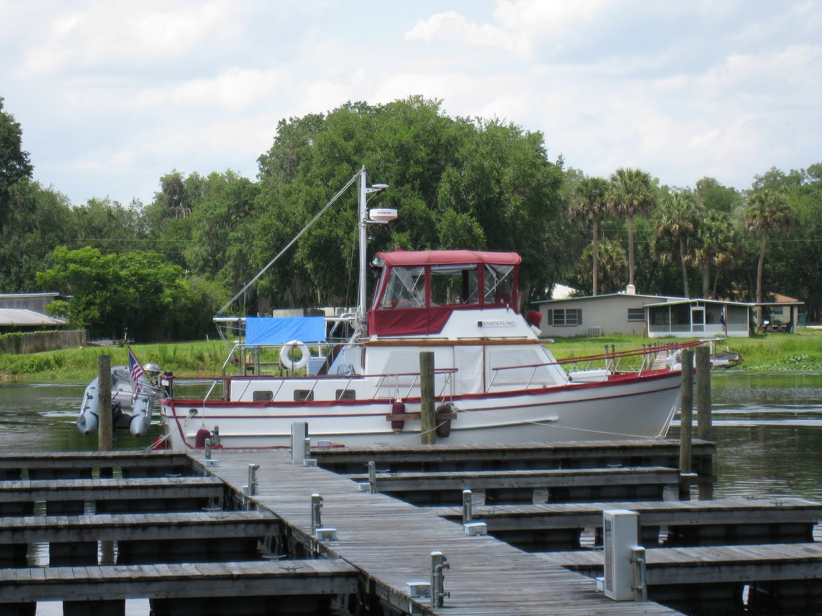
At about 1400 we tied our lines to the upstream dock at Hontoon Island State Park, a gem along the St. Johns River, with 40 slips for small boats as well as two larger outer docks, water and electricity, campgrounds, picnic and play areas, and nature trails leading to a large shell mound at the southwest corner of the island-park from the period when the island was the home of Timucuan Indians. The island is accessible only by private boat or free ferry operated by the park staff. We liked the park so well that we stayed for three nights!
The second day at the park we dingied into the Dead River along the north edge of the park. The cypress swamp along either side was incredible, with knees growing thickly between the older trees. Spanish moss covers most of the branches.

In the morning of our last day at the park, prior to the now daily afternoon thunderstorms (and hot, humid weather) we hiked the nature trail to the Indian mound. As the trail headed toward the Dead River along the north side of the park, we spotted two adult deer and a fawn grazing on plants along the edge of the river. The fawn disappeared into the dense undergrowth and trees, but we could hear it bleating and one of the does responding as they slowly moved through the brush and onto a trail leading away from the area.

We then continued along the trail to the Indian mound and ascended a rather unusual hill and in another 30 yards came to a seat with a sign reading "End of the Trail." We looked around and there was no mound to be seen, but we were standing on shells - we were on the mound and had been since the trail started rising. There was a huge tree growing at the "end of the trail" and other trees and bushes growing on the mound itself. Off to one side was a truly "dismal" swamp - standing water covered with green growth amidst huge cypress trees and knees. Interestingly, cooler air was rising out of the swamp beside the Indian mound.

We departed Hontoon Island State Park on Sunday, June 6th and headed further upstream to Sanford, about 20 miles distance. Since this was a weekend, we encountered many kayhaks, small outboard and fishing boats, and PWCs as we cruised past Blue Springs State Park (swim in crystal clear water) and many small marinas and boat launch ramps. Again, even with many alligators in the water, people were swimming from sandy beaches along the river, their boats run up on the beach. We crossed under the rail road bridge at the Port of Sanford, on the north end of Lake Monroe, and we could see Sanford and the Monroe Harbor Marina a few miles across the lake. As we entered the lake we counted 14 PWCs zooming northward heading toward the narrow part of the St. Johns River we had just left.

Ahead was the city of Sanford and the Monroe Harbor Marina. After some confusing non-directions from a marina employee who probably had never been in a boat on the water around the marina, we finally found our slip and tied up for a few days in the marina's east basin.
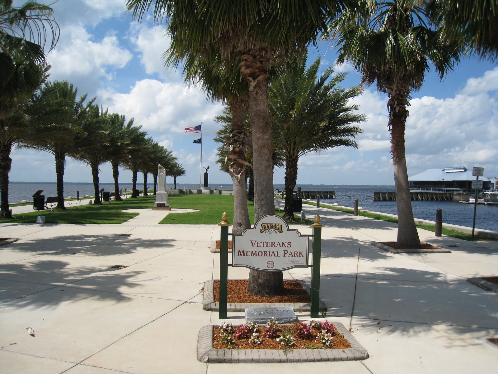
Sanford has a beautiful riverwalk and downtown area. There's quite a history to the region which was once the commercial center of Florida (back in the steamboat days).


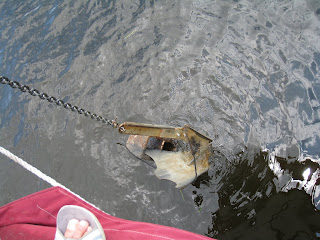
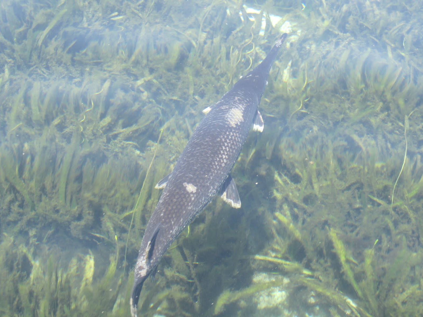 The spring originates about 3/4 of a mile to the west of Lake George's shoreline, and near the actual spring the body of water gets a little wider with a roped-off state park at the far end. Boats of all descriptions were anchored in the very shallow area just before the source while others were pulled up on the sandy shoreline. There were a number of small house boats, kayaks, canoes, small runabouts, and various types of pontoon boats - even a guy selling hot dogs and sodas from a pontoon boat which he would frequently motor around the other boats. People were in the water talking and swimming and generally enjoying the cool spring water. As we were leaving we saw one large gar perhaps 3 feet long as well as other fish of unknown types.
 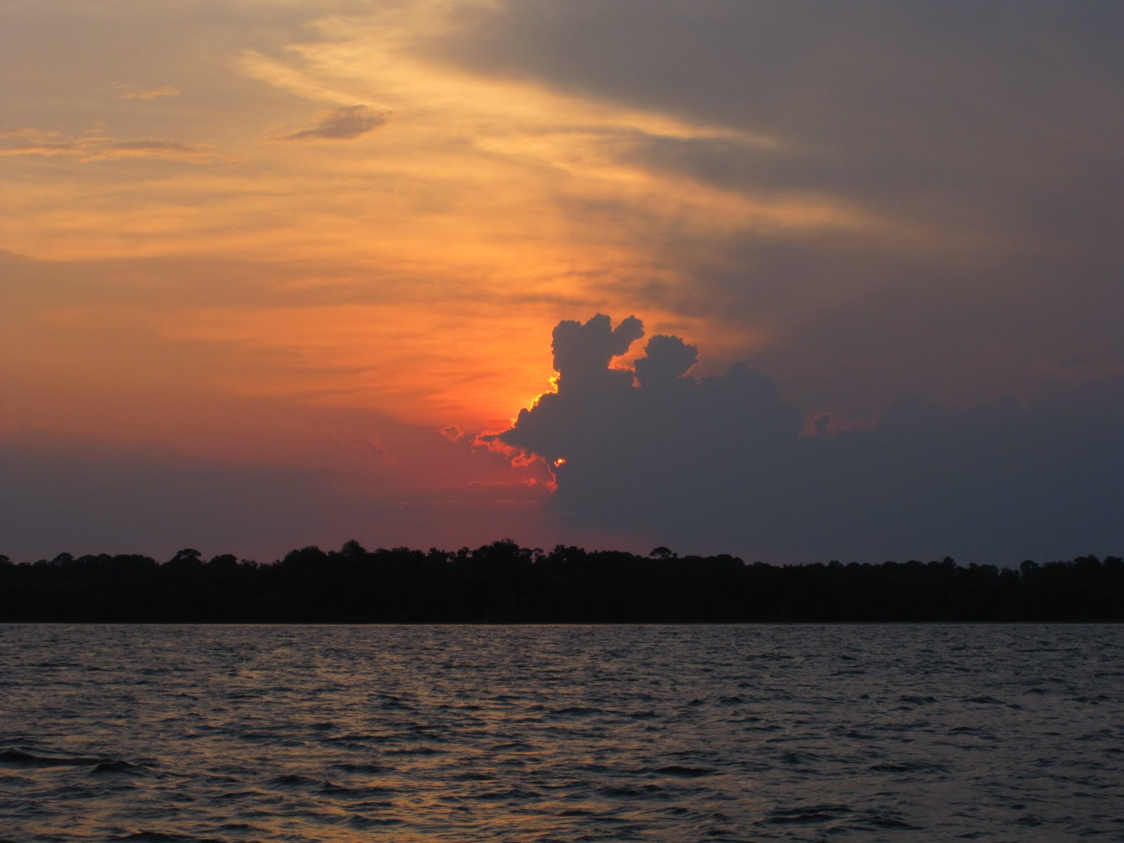 That evening the wind suddenly picked up from less than 5 mph to around 15-17 mph from the south-east as we began hearing thunder in the distance. Eventually we could see the lightning in the clouds as the sun was still setting, and soon it became obvious that we were on the edge of a large thunderstorm. NOAA weather radio indicated that a severe storm was heading south - and it did as it skirted just to the west of the lake. Eventually the storm passed and the wind calmed down to nearly nothing.
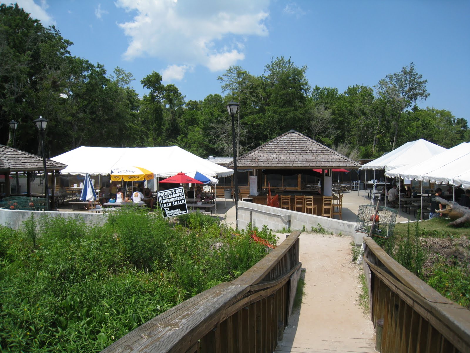
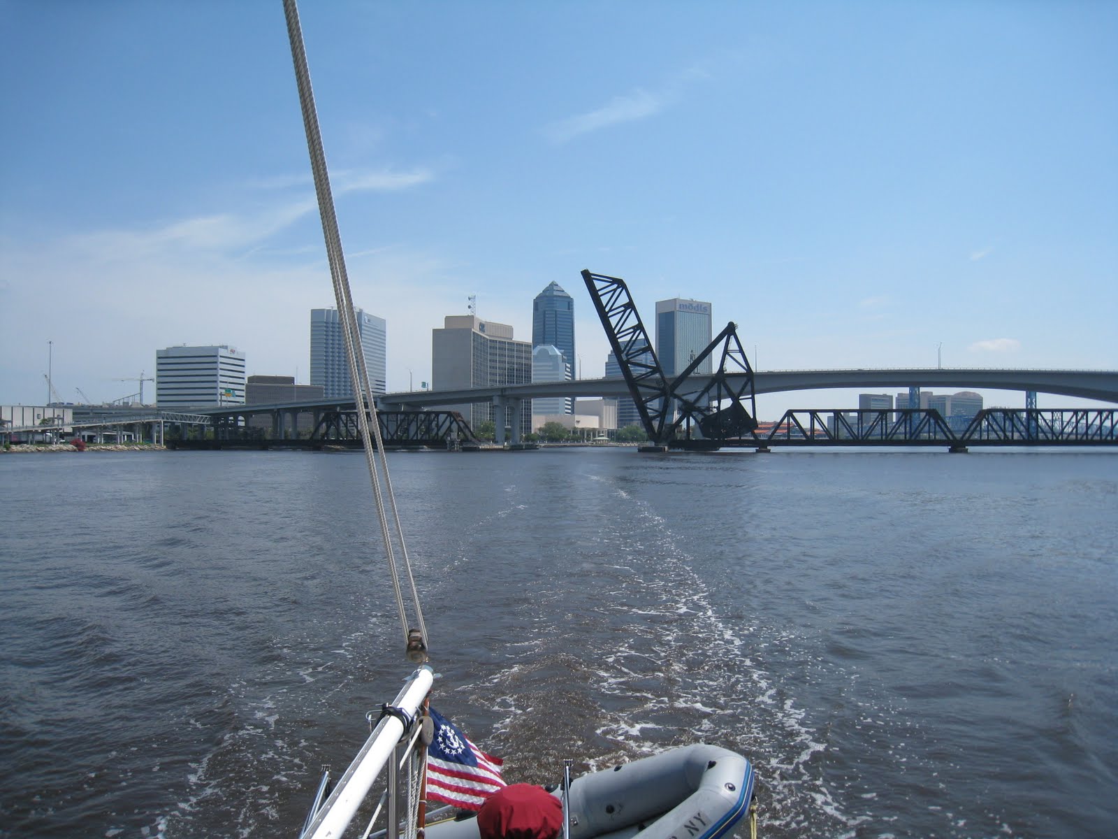
 On Sunday we had planed to travel as far as the free restaurant dock on Six Mile Creek, just south of Green Cove Springs, to spend the night; however, due to the hot weather with temps approaching 95 we decided to stop for a late lunch at the Outback Crab Shack restaurant and continue north to Naval Air Station Jacksonville where we could be in an inexpensive marina with electricity for air conditioning. We're glad we made that choice. The temps have been in the mid to high 90s with humidity to match, making a heat index near 105 for the past several days!